
The 4 “Stans” v3
Описание тура ещё не заполнено.
Даты и стоимость
Сейчас нет предстоящих заездов с открытым набором. Вы можете заказать этот маршрут на свои даты.
Маршрут по дням
День 1BishkekДень прибытия · Sheraton
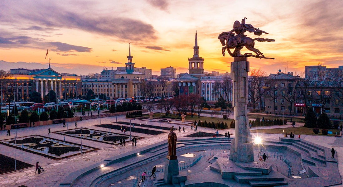
Bishkek (Kyrgyz: Бишкек, IPA: [biʃˈkek]; Russian: Бишкек), formerly Pishpek and Frunze, is the capital and largest city of Kyrgyzstan. Bishkek is also the administrative centre of the Chüy Region. The region surrounds the city, although the city itself is not part of the region but rather a region-level unit of Kyrgyzstan. Bishkek is situated near the Kazakhstan–Kyrgyzstan border with its population being 1,074,075 in 2021.
Ночёвка: Sheraton
День 2Bishkek → Alma-Ata250 км · Tent outdoors
Bishkek (Kyrgyz: Бишкек, IPA: [biʃˈkek]; Russian: Бишкек), formerly Pishpek and Frunze, is the capital and largest city of Kyrgyzstan. Bishkek is also the administrative centre of the Chüy Region. The region surrounds the city, although the city itself is not part of the region but rather a region-level unit of Kyrgyzstan. Bishkek is situated near the Kazakhstan–Kyrgyzstan border with its population being 1,074,075 in 2021.
Ночёвка: Tent outdoors
День 3Alma-Ata → Saty280 км · Tent outdoors
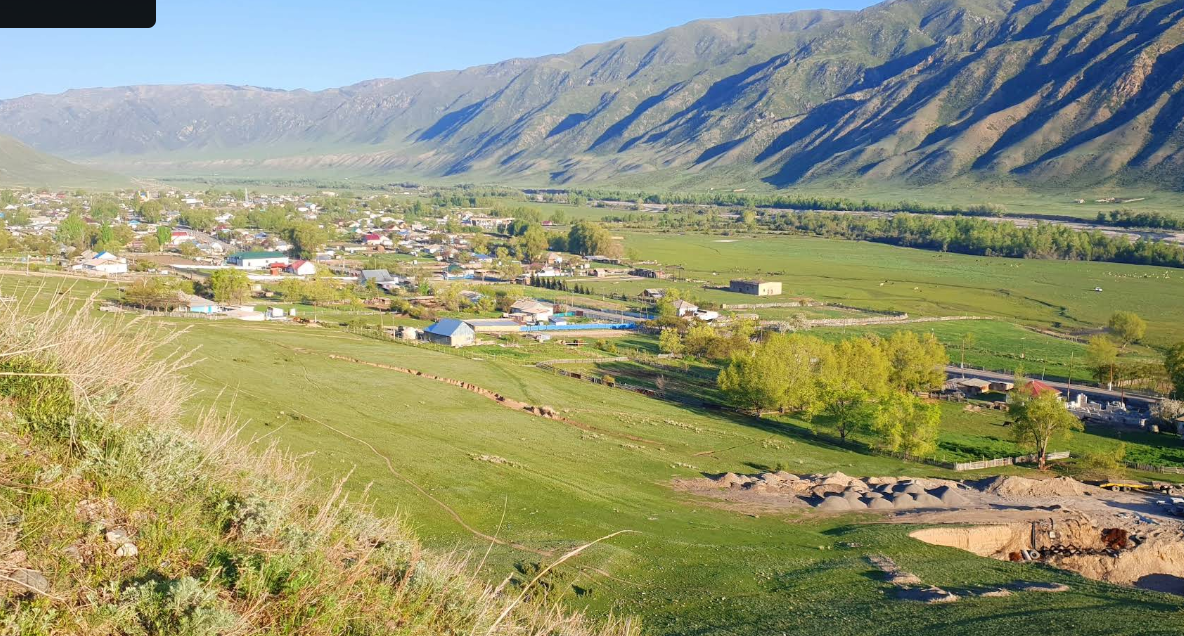
Saty is a village in the Kegen District of the Almaty Region of Kazakhstan. It is the administrative center of the Saty Rural Okrug and is located approximately 66 km west of the village of Kegen.
Ночёвка: Tent outdoors
День 4Saty → Jyrgalan175 км · Tent outdoors
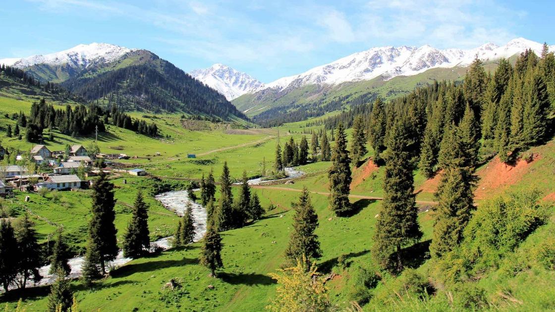
Saty is a village in the Kegen District of the Almaty Region of Kazakhstan. It is the administrative center of the Saty Rural Okrug and is located approximately 66 km west of the village of Kegen.
Ночёвка: Tent outdoors
День 5Jyrgalan → Sary Jaz → Karakol245 км · Tent outdoors
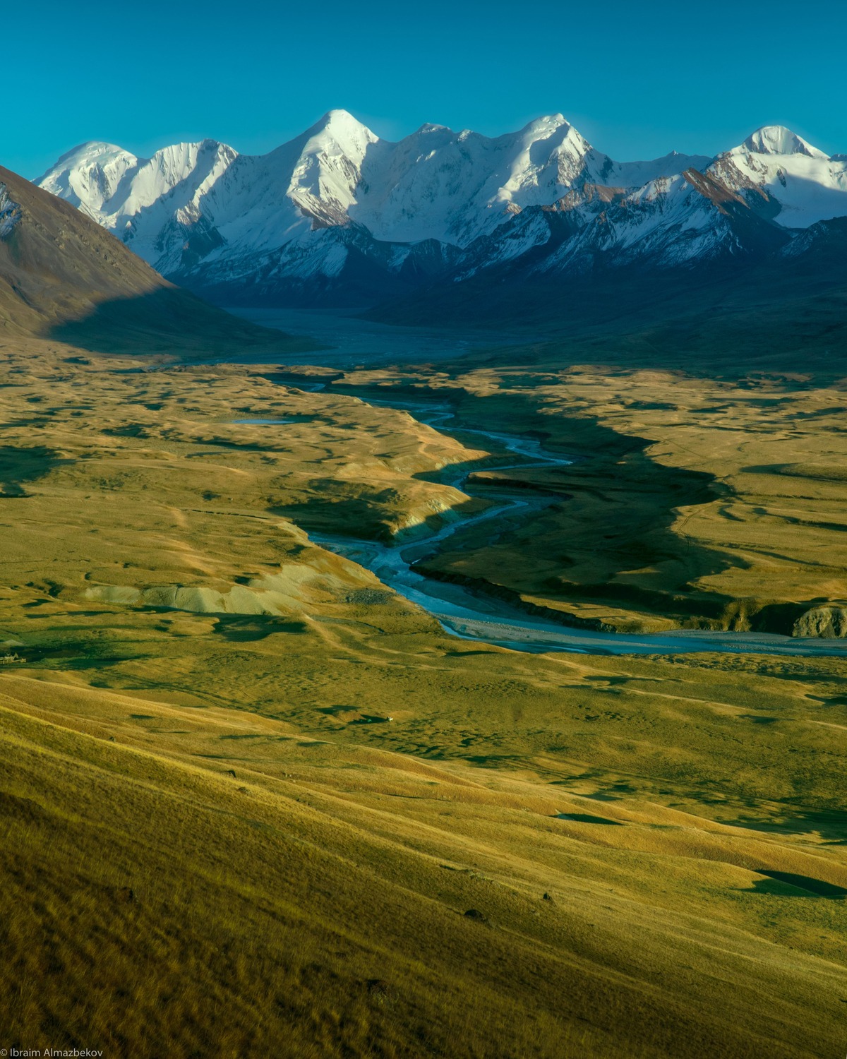
Sary-Jaz (Sarydzhaz) is one of the wildest, most remote, and yet stunningly beautiful regions of Kyrgyzstan. It is located in the eastern part of the Issyk-Kul Region, right at the foot of the highest peaks of the Central Tien Shan (Khan Tengri and Pobeda peaks), directly on the border with China.In this region, the name "Sary-Jaz" (which translates as "yellow spring" or "yellow nomad camp") belongs to several geographical features at once: a powerful river, a vast high-altitude valley, a mountain range, and a unique vanishing lake.
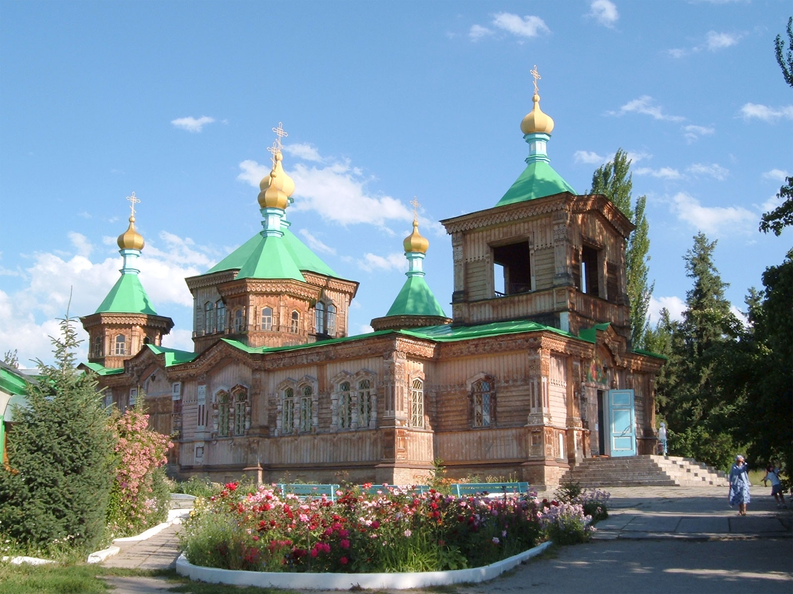
Karakol (Kyrgyz: Каракол, romanized: Karakol, قاراقول, Kyrgyz pronunciation: [qɑrɑqoɫ]), formerly Przhevalsk (Russian: Пржевальск), is the fourth-largest city in Kyrgyzstan, near the eastern tip of Lake Issyk-Kul, about 150 kilometres (93 mi) from the Kyrgyzstan–China border and 380 kilometres (240 mi) from the capital Bishkek. It is the administrative capital of Issyk-Kul Region.
Ночёвка: Tent outdoors
День 6Karakol → Aksai Canyon235 км · Tent outdoors
Karakol (Kyrgyz: Каракол, romanized: Karakol, قاراقول, Kyrgyz pronunciation: [qɑrɑqoɫ]), formerly Przhevalsk (Russian: Пржевальск), is the fourth-largest city in Kyrgyzstan, near the eastern tip of Lake Issyk-Kul, about 150 kilometres (93 mi) from the Kyrgyzstan–China border and 380 kilometres (240 mi) from the capital Bishkek. It is the administrative capital of Issyk-Kul Region.
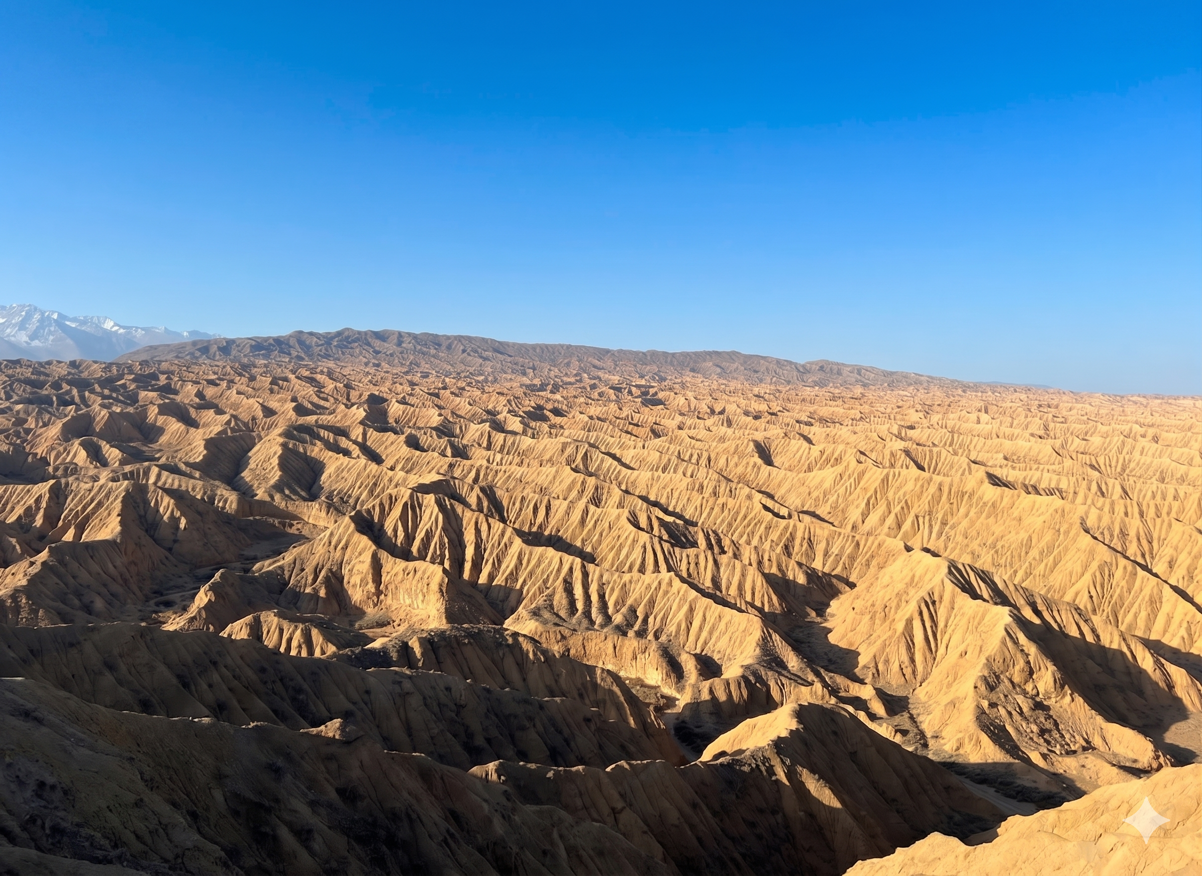
The Aksai Canyons (or Aksai Canyons) are a stunning, yet still relatively little-known location on the southern shore of Lake Issyk-Kul. It is located approximately 16-20 km west of the town of Bokonbaevo, near the eponymous village of Aksai.Due to its geological structure and proximity to the famous Skazka Canyon, Aksai is often compared to it. However, the landscape here is more monochrome; warm ochre, golden, and sandy hues dominate, and the scale of the maze of hills appears even more monumental and wild.
Ночёвка: Tent outdoors
День 7Aksai Canyon0 км · Tent outdoors
The Aksai Canyons (or Aksai Canyons) are a stunning, yet still relatively little-known location on the southern shore of Lake Issyk-Kul. It is located approximately 16-20 km west of the town of Bokonbaevo, near the eponymous village of Aksai.Due to its geological structure and proximity to the famous Skazka Canyon, Aksai is often compared to it. However, the landscape here is more monochrome; warm ochre, golden, and sandy hues dominate, and the scale of the maze of hills appears even more monumental and wild.
Ночёвка: Tent outdoors
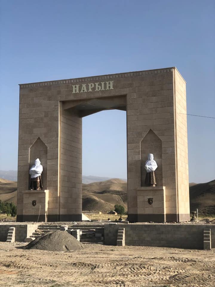
День 8Aksai Canyon → Tosor Pass → Naryn265 км
The Aksai Canyons (or Aksai Canyons) are a stunning, yet still relatively little-known location on the southern shore of Lake Issyk-Kul. It is located approximately 16-20 km west of the town of Bokonbaevo, near the eponymous village of Aksai.Due to its geological structure and proximity to the famous Skazka Canyon, Aksai is often compared to it. However, the landscape here is more monochrome; warm ochre, golden, and sandy hues dominate, and the scale of the maze of hills appears even more monumental and wild.
Ночёвка: Не указано
День 9Naryn → Tash Rabat → Son Kyl300 км
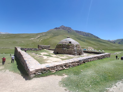
Surrounded by mountains, the 15th-century stone caravanserai has 31 rooms with vaulted ceilings.
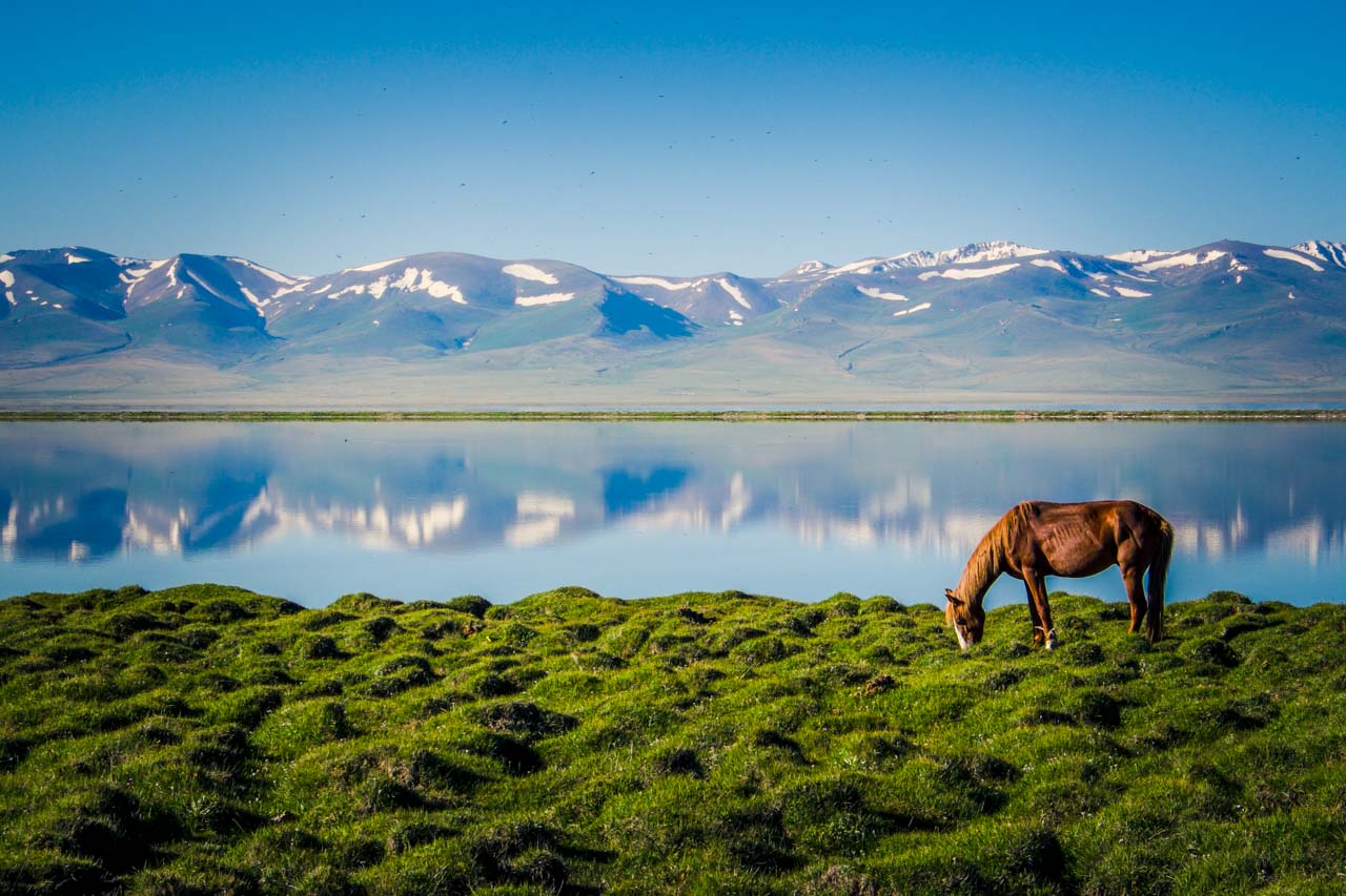
Sonkel is a large alpine lake, sandwiched in a basin between the internal spurs of the Tien Shan. Located between the Sonkel-Too and Moldo-Too ridges, at an altitude of 3016 m above sea level in the northwestern part of the Naryn region.
Ночёвка: Не указано
День 10Son Kyl → Kazarman → Osh465 км · Tent outdoors
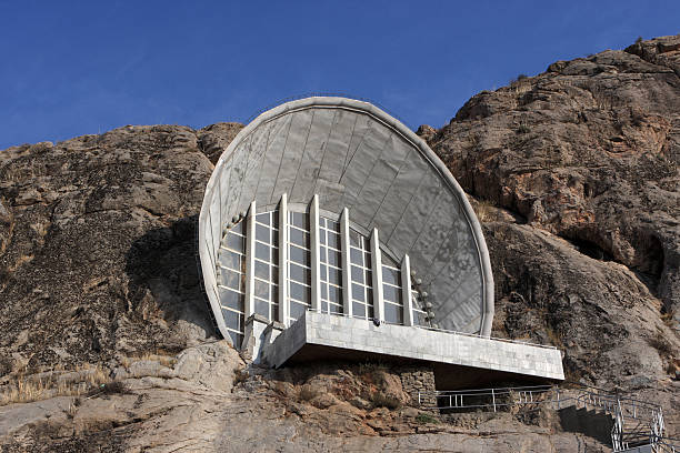
Sonkel is a large alpine lake, sandwiched in a basin between the internal spurs of the Tien Shan. Located between the Sonkel-Too and Moldo-Too ridges, at an altitude of 3016 m above sea level in the northwestern part of the Naryn region.
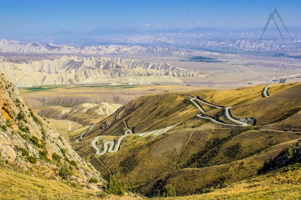
4iya to familiya
Ночёвка: Tent outdoors
День 11Osh0 км · Tent outdoors
Ночёвка: Tent outdoors
День 12Osh → Tulpar Kol210 км · Tent outdoors
Ночёвка: Tent outdoors
День 13Tulpar Kol → Murgab280 км · Tent outdoors
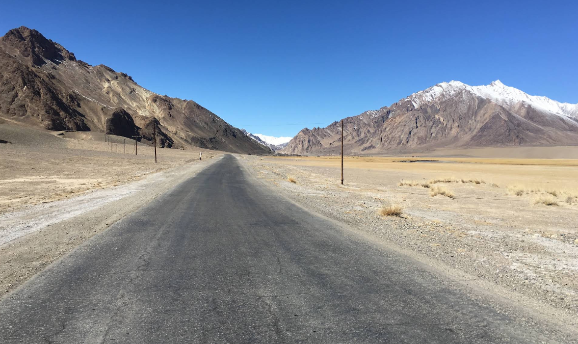
Murghab is an urban-type settlement in eastern Tajikistan, the administrative center of the Murghab District of the Gorno-Badakhshan Autonomous Region. It is the only populated area in the Murghab Jamoat of the Murghab District.
Ночёвка: Tent outdoors
День 14Murgab → Khorog310 км · Tent outdoors
Murghab is an urban-type settlement in eastern Tajikistan, the administrative center of the Murghab District of the Gorno-Badakhshan Autonomous Region. It is the only populated area in the Murghab Jamoat of the Murghab District.
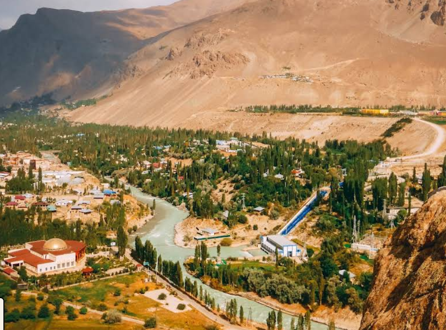
Khorog is a city in Tajikistan, the administrative center of the Gorno-Badakhshan Autonomous Region.
Ночёвка: Tent outdoors
День 15Khorog → Kalai-Khumb250 км · Tent outdoors
Khorog is a city in Tajikistan, the administrative center of the Gorno-Badakhshan Autonomous Region.
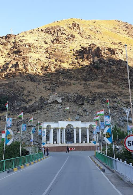
Kalai-Khumb is a village and the capital of the Darvaz District of the Gorno-Badakhshan Autonomous Region of the Republic of Tajikistan. It is located at an altitude of 1,200 meters above sea level, near the confluence of the Obikhumbou River and the Panj River, 368 km from Dushanbe, on the border with Afghanistan. It is connected by road to the cities of Kulob and Khorog.
Ночёвка: Tent outdoors
День 16Kalai-Khumb → Dushanbe350 км · Tent outdoors
Kalai-Khumb is a village and the capital of the Darvaz District of the Gorno-Badakhshan Autonomous Region of the Republic of Tajikistan. It is located at an altitude of 1,200 meters above sea level, near the confluence of the Obikhumbou River and the Panj River, 368 km from Dushanbe, on the border with Afghanistan. It is connected by road to the cities of Kulob and Khorog.
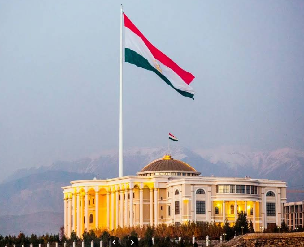
Dushanbe is the capital of Tajikistan. The city is located on the Varzob River. On its eastern bank is Rudaki Park, named after the famous poet. A monument to him stands beneath a mosaic arch. The Tajik flag flies atop a tall flagpole in the square. A monument and gilded arch were erected in memory of the great warrior Ismail Samani. Another city landmark is the National Museum of Tajikistan, where archaeological finds can be seen.
Ночёвка: Tent outdoors
День 17Dushanbe → Samarkand290 км · Tent outdoors
Dushanbe is the capital of Tajikistan. The city is located on the Varzob River. On its eastern bank is Rudaki Park, named after the famous poet. A monument to him stands beneath a mosaic arch. The Tajik flag flies atop a tall flagpole in the square. A monument and gilded arch were erected in memory of the great warrior Ismail Samani. Another city landmark is the National Museum of Tajikistan, where archaeological finds can be seen.
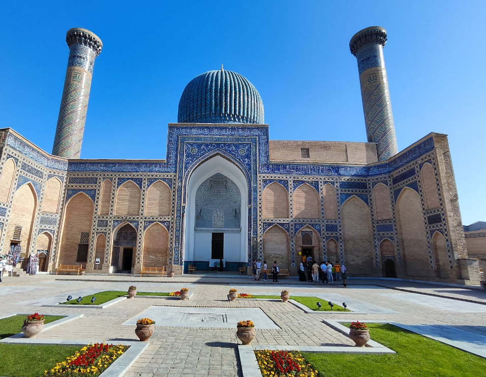
Samarkand is a city in Uzbekistan known for its mosques and mausoleums. The Great Silk Road, a trade route linking China with the Mediterranean, passed through Samarkand. Its most important landmarks include Registan Square, with three 15th- and 17th-century madrassas richly decorated with majolica, and the Gur-e-Amir Mausoleum, the majestic tomb of Timur (Tamerlane), the founder of the Timurid Empire.
Ночёвка: Tent outdoors
День 18Samarkand0 км · Tent outdoors
Samarkand is a city in Uzbekistan known for its mosques and mausoleums. The Great Silk Road, a trade route linking China with the Mediterranean, passed through Samarkand. Its most important landmarks include Registan Square, with three 15th- and 17th-century madrassas richly decorated with majolica, and the Gur-e-Amir Mausoleum, the majestic tomb of Timur (Tamerlane), the founder of the Timurid Empire.
Ночёвка: Tent outdoors
День 19Samarkand → Tashkent320 км · Tent outdoors
Samarkand is a city in Uzbekistan known for its mosques and mausoleums. The Great Silk Road, a trade route linking China with the Mediterranean, passed through Samarkand. Its most important landmarks include Registan Square, with three 15th- and 17th-century madrassas richly decorated with majolica, and the Gur-e-Amir Mausoleum, the majestic tomb of Timur (Tamerlane), the founder of the Timurid Empire.
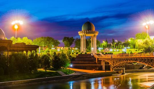
Tashkent, the capital of Uzbekistan, is renowned for its numerous museums and its blend of modern and Soviet architecture. The Timurid History Museum houses manuscripts, weapons, and other relics of the famous dynasty. Nearby, the vast History Museum of Uzbekistan displays ancient Buddhist artifacts. The Tashkent TV Tower towers over the city, offering panoramic views from its observation deck.
Ночёвка: Tent outdoors
День 20Tashkent0 км · Tent outdoors
Tashkent, the capital of Uzbekistan, is renowned for its numerous museums and its blend of modern and Soviet architecture. The Timurid History Museum houses manuscripts, weapons, and other relics of the famous dynasty. Nearby, the vast History Museum of Uzbekistan displays ancient Buddhist artifacts. The Tashkent TV Tower towers over the city, offering panoramic views from its observation deck.
Ночёвка: Tent outdoors
День 21Tashkent → Taraz300 км · Tent outdoors
Tashkent, the capital of Uzbekistan, is renowned for its numerous museums and its blend of modern and Soviet architecture. The Timurid History Museum houses manuscripts, weapons, and other relics of the famous dynasty. Nearby, the vast History Museum of Uzbekistan displays ancient Buddhist artifacts. The Tashkent TV Tower towers over the city, offering panoramic views from its observation deck.
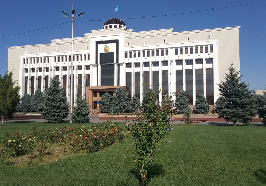
Taraz is a city and the administrative center of the Zhambyl Region of Kazakhstan. Its population is 431,160. It has an international airport, a railway station, bus stations, shopping malls, entertainment complexes, and numerous squares and parks.
Ночёвка: Tent outdoors
День 22Taraz → Bishkek340 км
Taraz is a city and the administrative center of the Zhambyl Region of Kazakhstan. Its population is 431,160. It has an international airport, a railway station, bus stations, shopping malls, entertainment complexes, and numerous squares and parks.
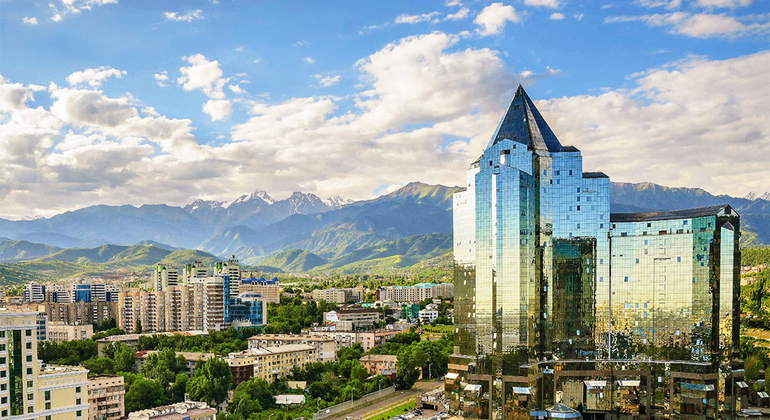
Bishkek (Kyrgyz: Бишкек, IPA: [biʃˈkek]; Russian: Бишкек), formerly Pishpek and Frunze, is the capital and largest city of Kyrgyzstan. Bishkek is also the administrative centre of the Chüy Region. The region surrounds the city, although the city itself is not part of the region but rather a region-level unit of Kyrgyzstan. Bishkek is situated near the Kazakhstan–Kyrgyzstan border with its population being 1,074,075 in 2021.
Ночёвка: Не указано
Загружаем треки маршрута…
Открыть привычную карту ↗Фотографии маршрута
Фотографии локаций, связанных с этим маршрутом.